|
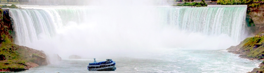
Leaving Green Bay, Wisconsin, we headed north and crossed into the Upper Peninsula of Michigan. This area is commonly known as the 'UP'. This is a part of Michigan between Lake Superior and Lake Michigan, and touching Lake Huron on the east side. It's connected to 'lower' Michigan by the Mackinac Bridge (Mack-e-naw) from St. Ignace on the UP side to Mackinaw City (Mack-e-naw: no matter how it's spelled, it's always pronounced Mack-e-naw) on the lower side. We went to the town of Munising (meuw-ne-sing) and found a nice campground on the shores of Gitchi Gumee (Git- che Goo-mee) in the land of Hiawatha. Younger readers may not have heard of Hiawatha, who was an Indian leader immortalized in a 1855 poem called 'Song of Hiawatha' by Henry Wadsworth Longfellow. (younger readers may not have heard about him, either). Anyway, Gitchi Gumee is Ojibwa Indian (oh-jib-wa) talk for Lake Superior. Once in Munising, we discovered and attraction called the Pictured Rocks National Lakeshore. A 3 hour boat ride took us along unusual formations in the rocky cliffs which were colored in places by seepages thru cracks and crevasses in the face of the cliffs. Here's a few pics.  In addition to dairy farms, we began to evidence of logging activity.  The tree on this rock is kept alive only by the roots going off to the left to soil and nutrients on the 'mainland'. 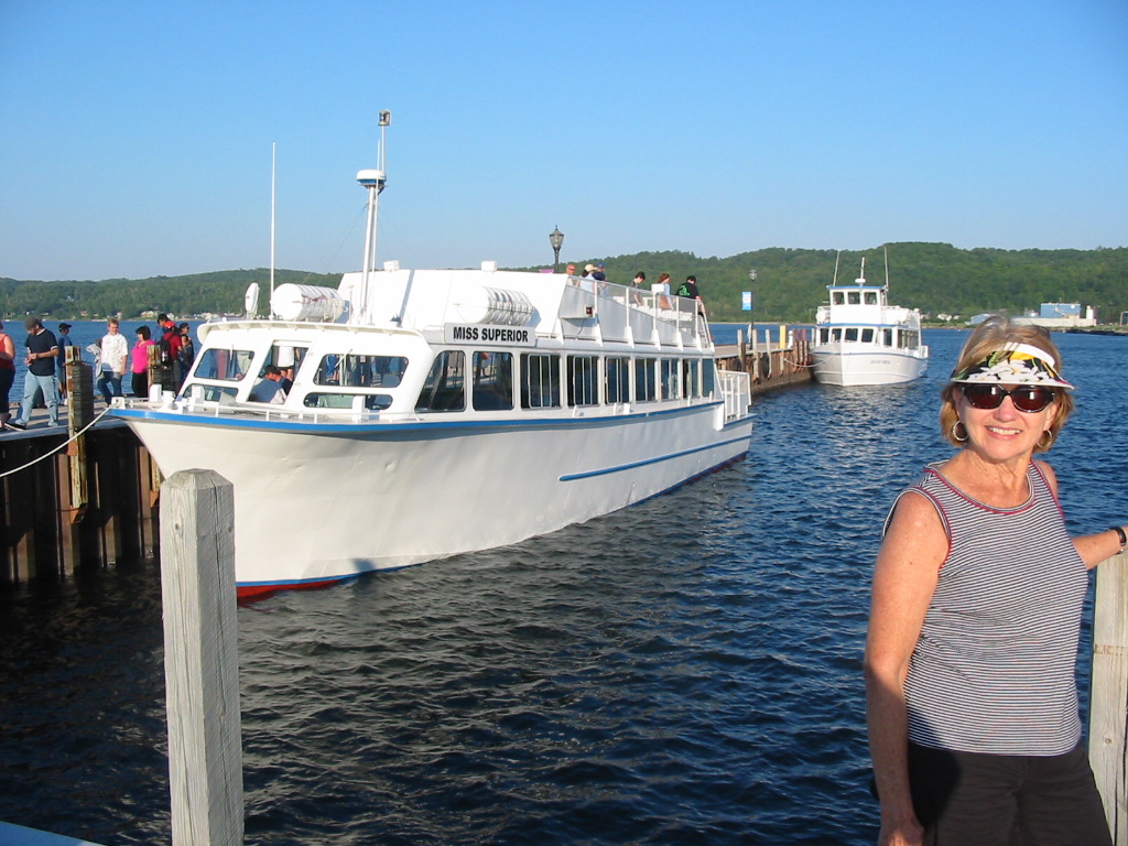 Since our camp was right on the water, we got on/in the kayak to paddle the calm waters to watch the sunset over the Lake. It was almost 10pm when it got pretty dark. This is the western edge of the Eastern Time Zone which accounts for that phenomenon. 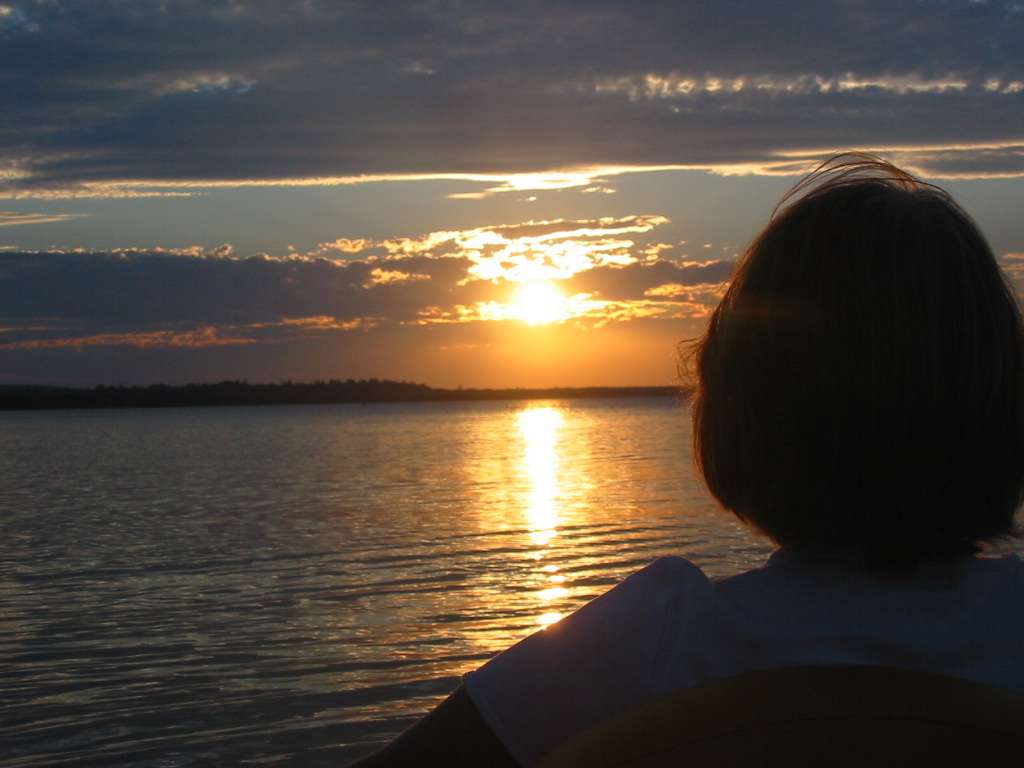 So this doesn't get too long, I'll cut it off now, and send another report soon. Stay tuned. Chuck
0 Comments
|


